Design
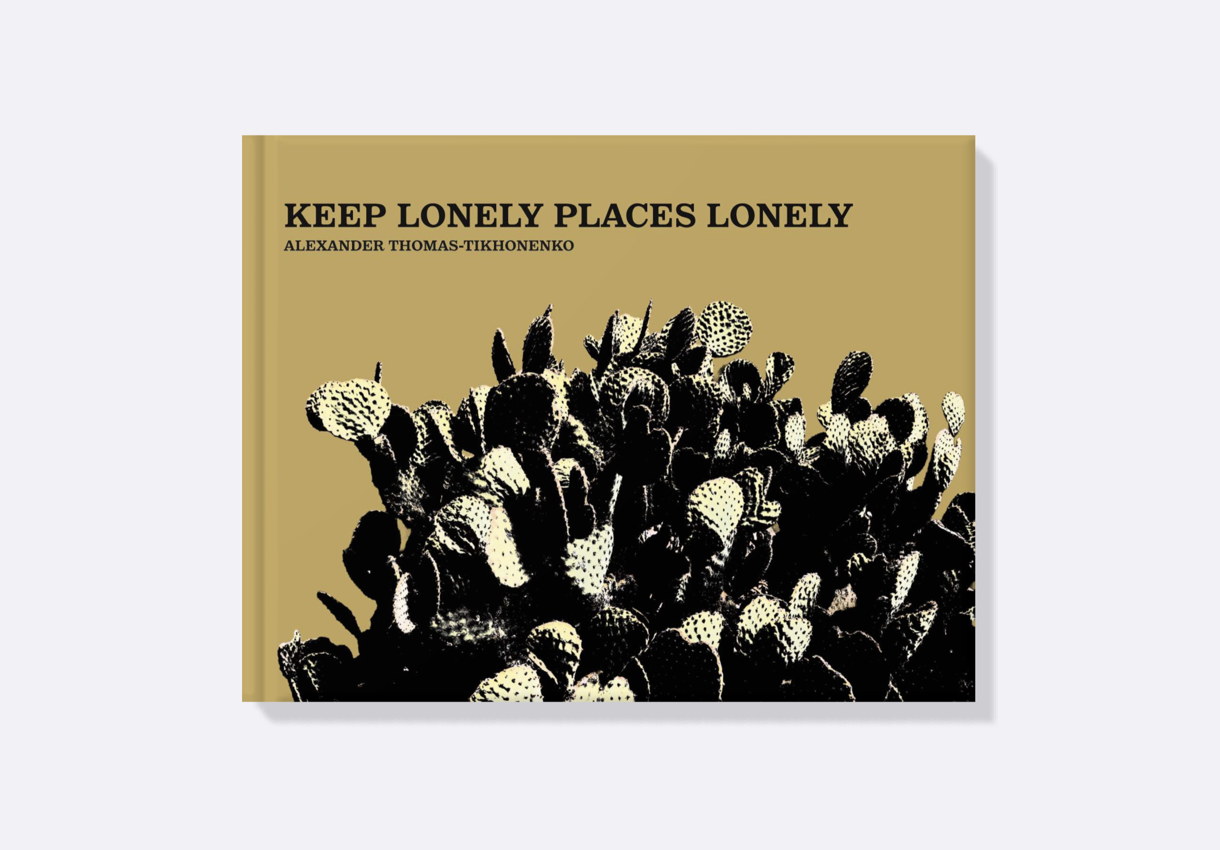
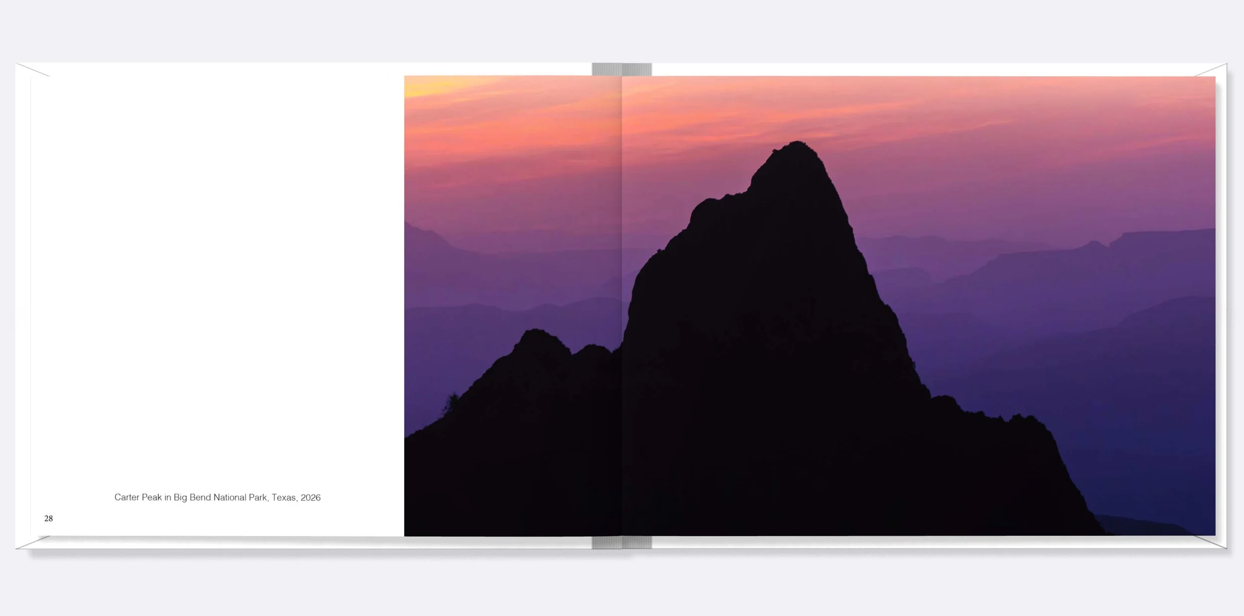
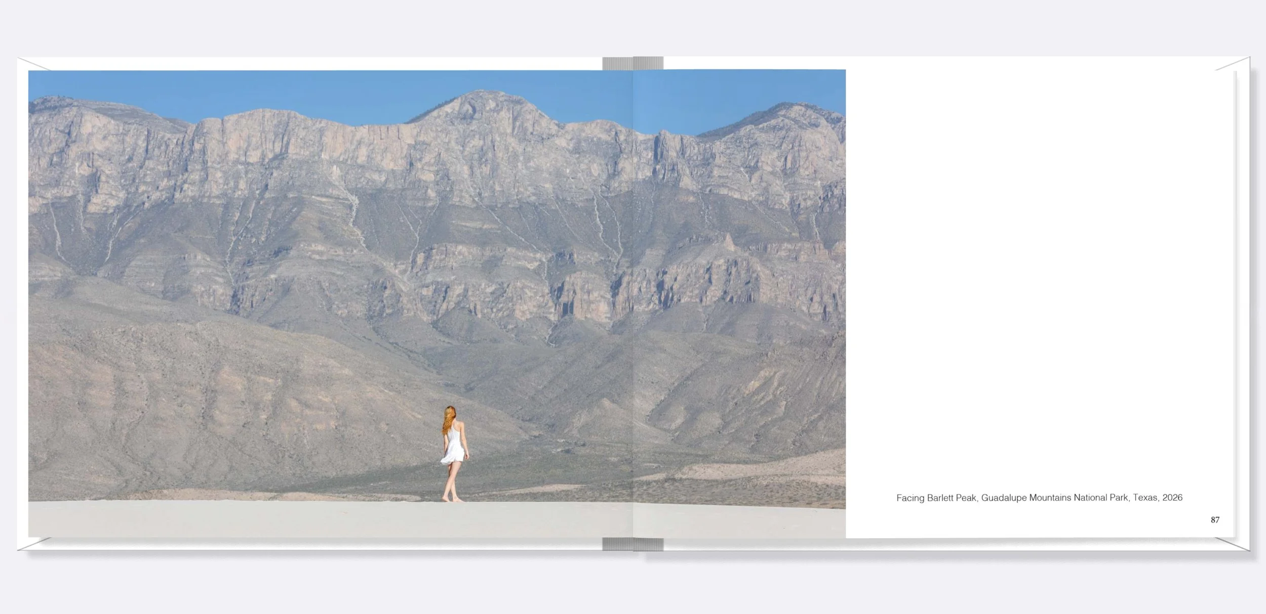
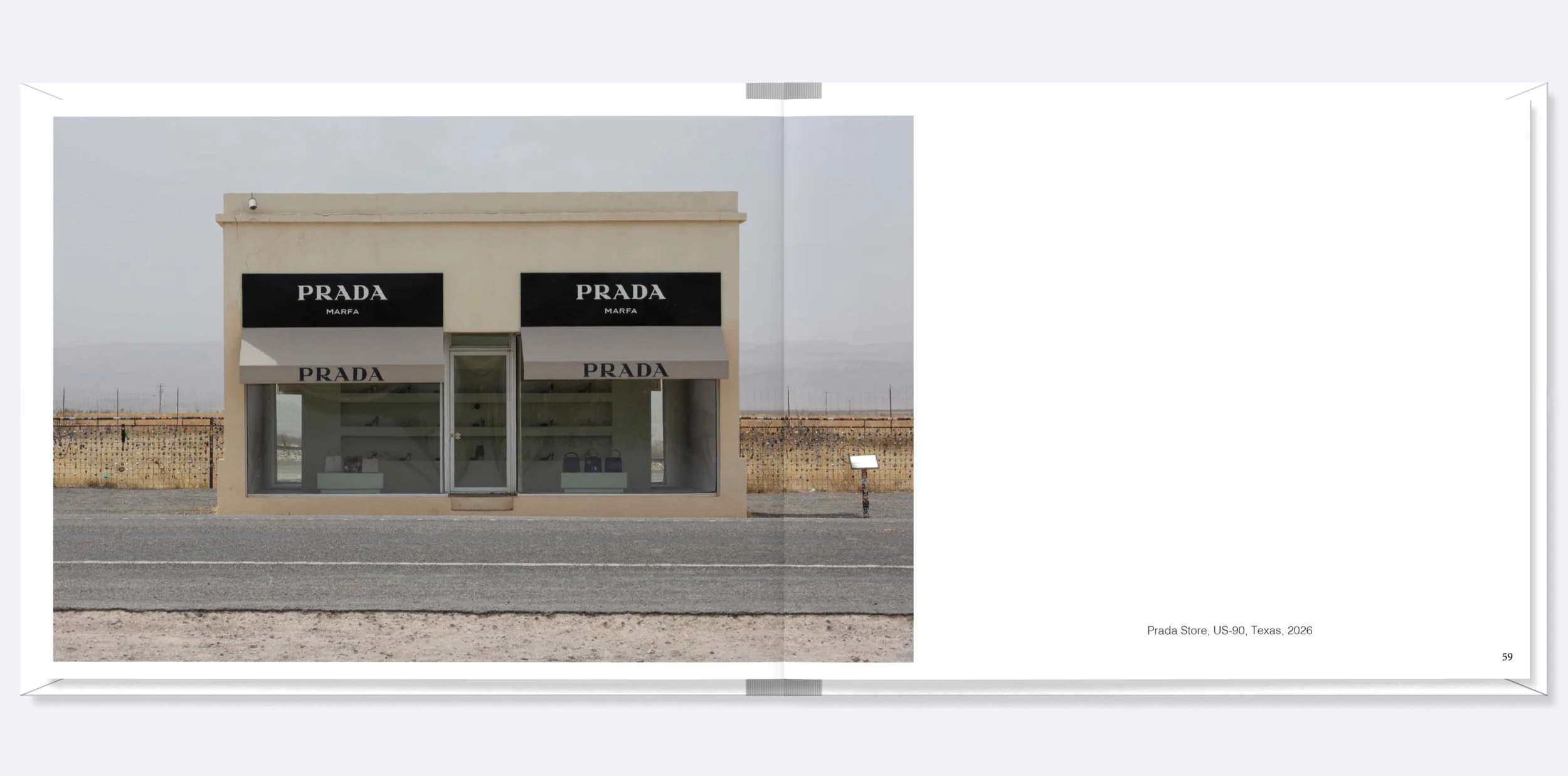
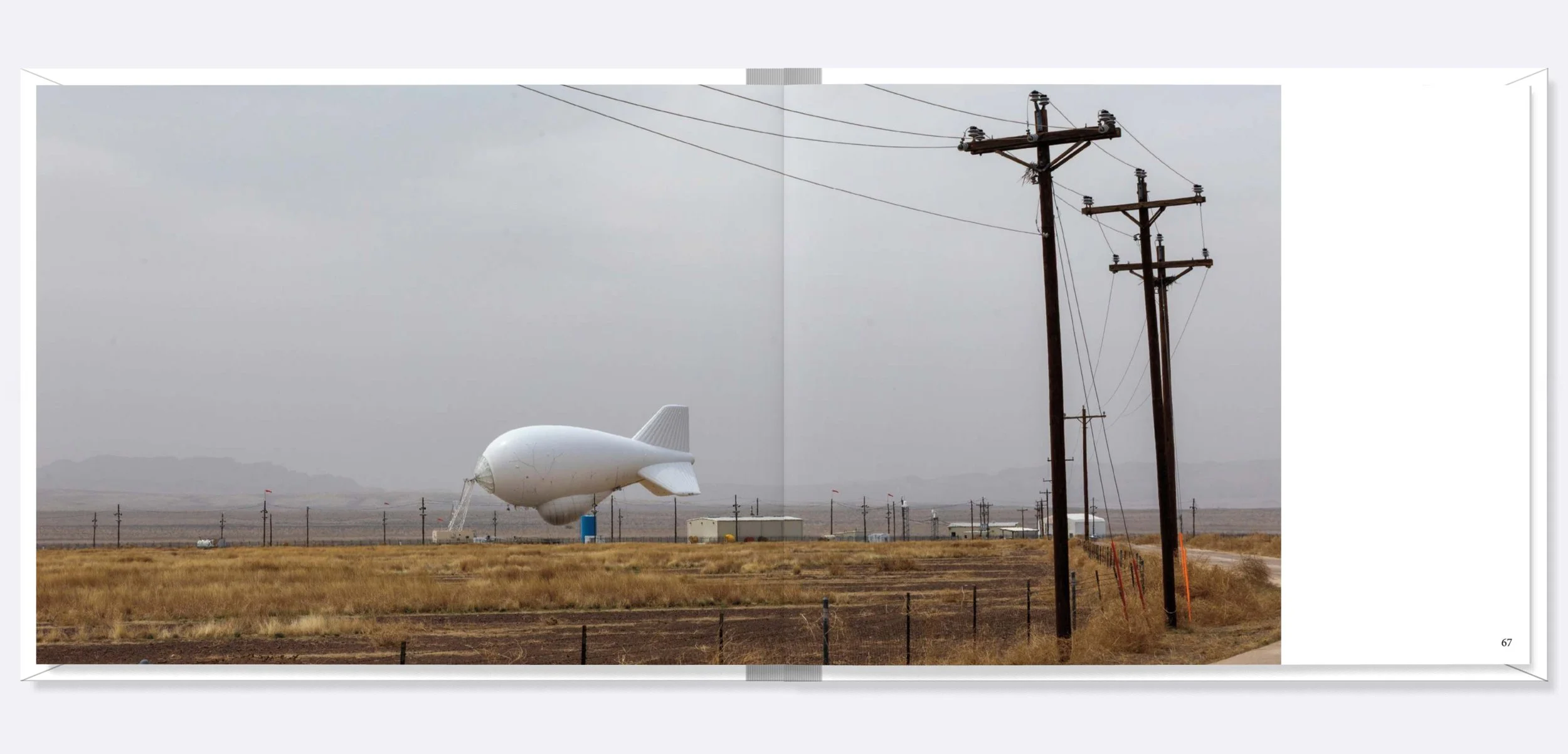
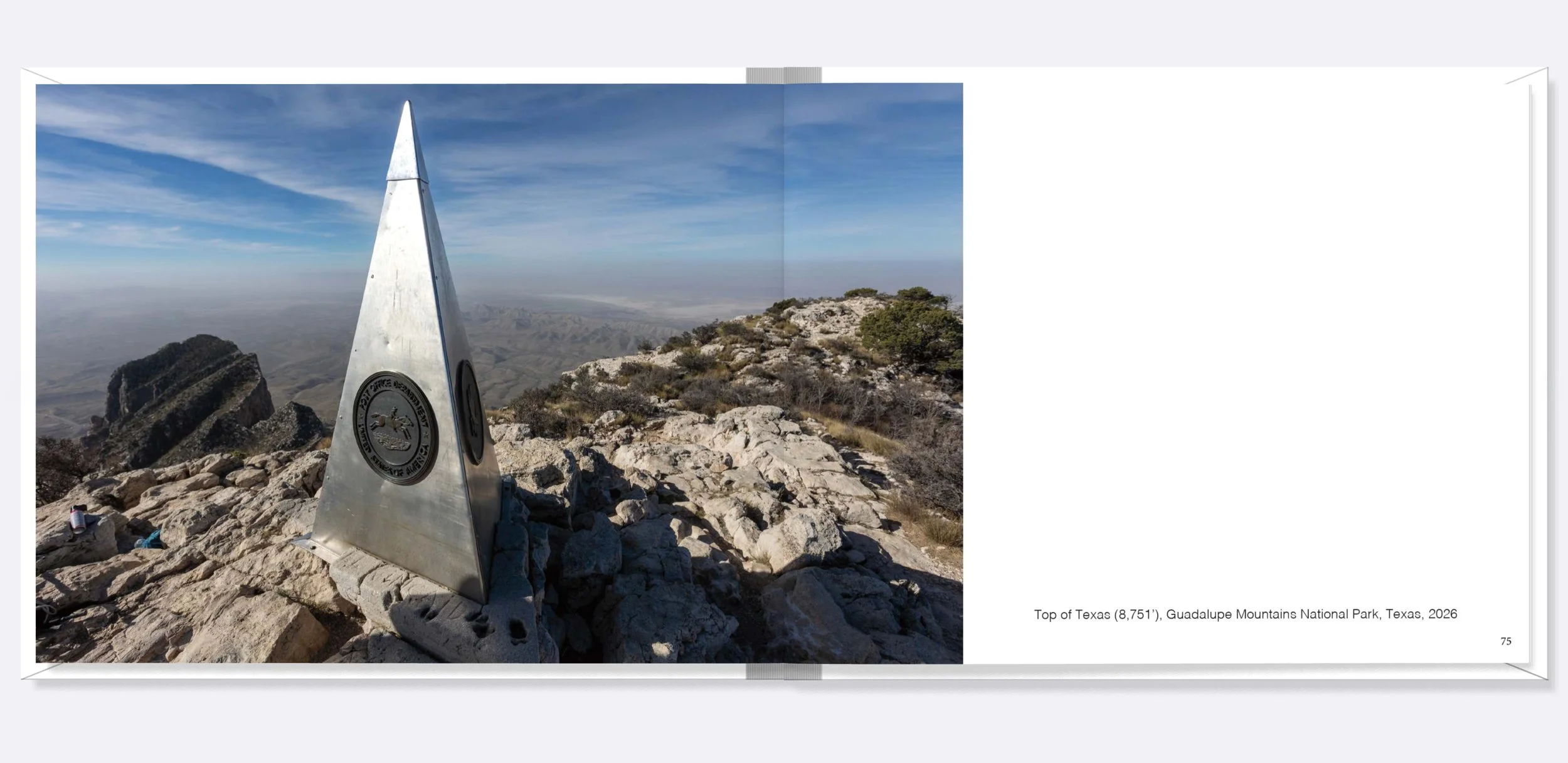
A 108-page visual survey documenting a 1,900-mile road trip across one of the most remote regions in the United States: The Trans-Pecos Region.
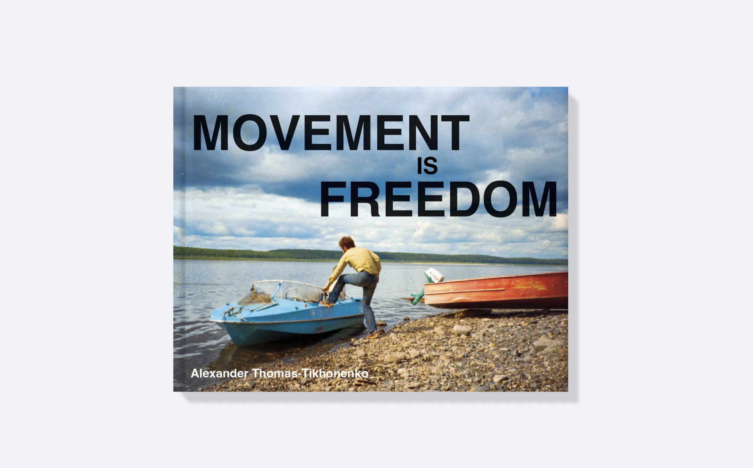
1989 witnessed cataclysmic geopolitical changes, which started in Eastern Europe with the fall of the Berlin Wall and with it, the Iron Curtain. Two years later, this was followed by the collapse of the Soviet Union and the swelling of the "Fourth Wave" of Russian immigration. Much of that wave broke along the Eastern Seaboard, but it also reached the American Heartland, the Rockies, and even the West Coast.
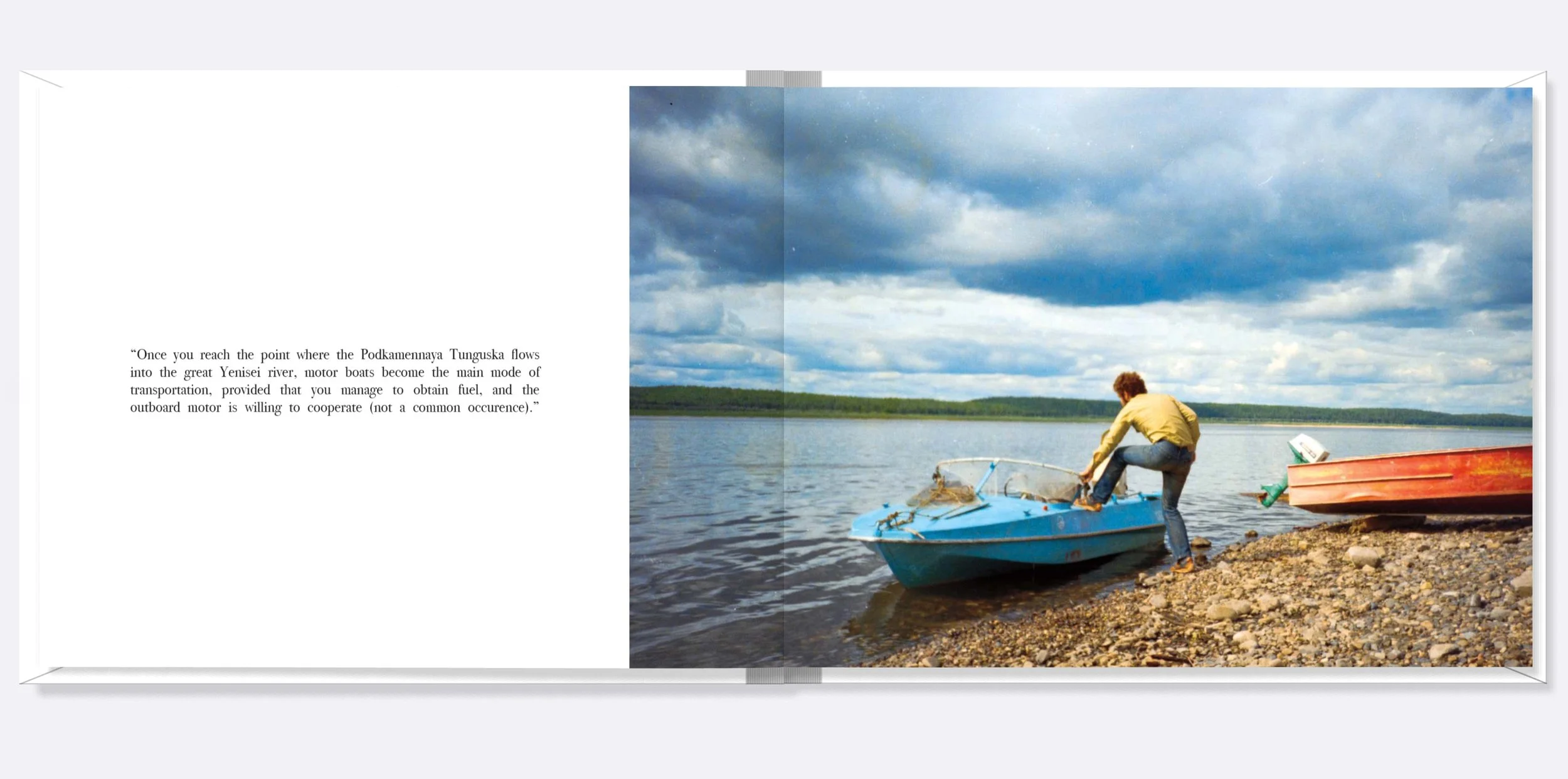
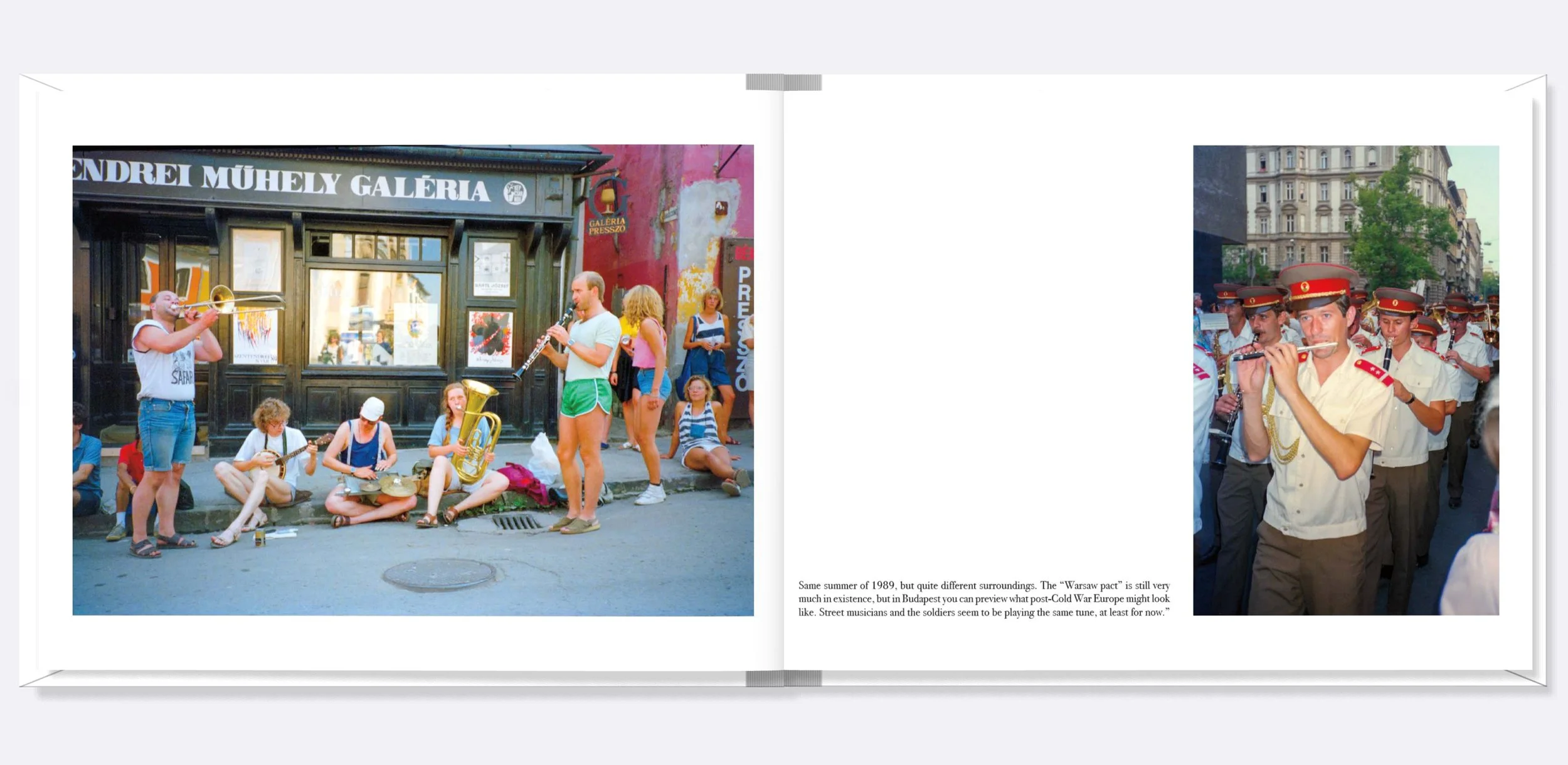
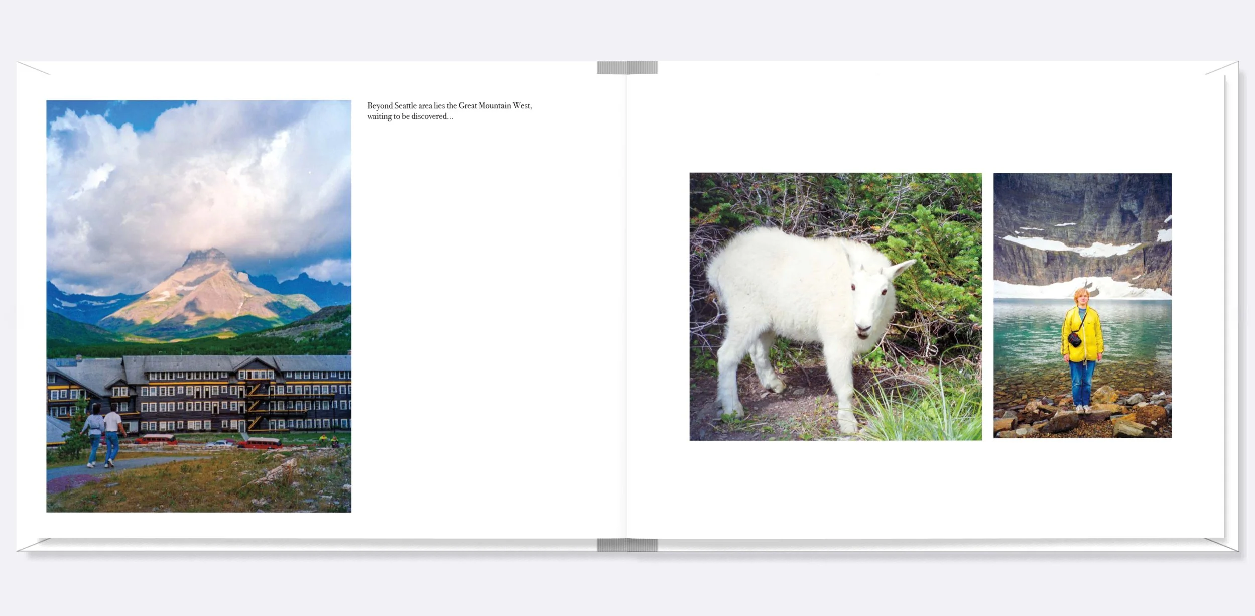
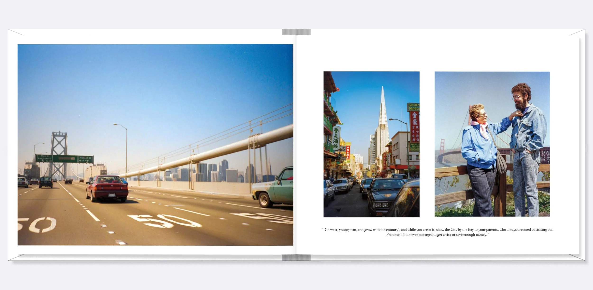
I grew up perusing fading photos depicting what my father calls "the itinerant nineties". Early on, his training as a field biologist afforded him rare opportunities to travel across Russia–from the temperate Sea of Japan to subarctic Siberia. Yet his sights were set on places farther than that. First among them was Budapest, on the cusp of seceding from the Warsaw Pact. By 1989, he found himself in Brussels, and by 1990, in Seattle, with the whole of 50 USD in his pocket. Yet exploring the campgrounds of the American West was affordable, and no visas were required.
While photos of the Berlin Wall being destroyed abound on the internet, personal accounts of the Fourth Wave largely remain hidden in family albums. Because of that, in May 2024, I began an archival project of scanning more than 2,000 negatives from my father's travels. While the project offers a visual survey of Eurasian and American landscapes, cityscapes, and skyscapes, it also speaks to the broader themes of access and freedom that shaped my father's journey - and by extension, my existence.